SAARC DIARY: Nepal’s Annual Report on External Engagements, India-Nepal Economic Ties Rising
NEW DELHI, Dec 7: Nepal has released its Annual report on Foreign Affairs for the period 2019-20. The Policy approved by the Government of Nepal lays out cohesively the principles, ideals and viewpoints for Nepal’s external engagements.
Pradeep Kumar Gyawali, the Foreign Minister and Bharat Raj Paudyal, Foreign Secretary launched it on the side-lines of a virtual webinar on “Diaspora Engagement for Higher Education in Nepal: Exploring Possibilities of Collaboration.”
The annual report contains a significant commitment and activities carried out by the Ministry of Foreign Affairs (MOFA) during the period from 16 July 16, 2019 to July 15, 2020 along with a special report on the response of Nepal.
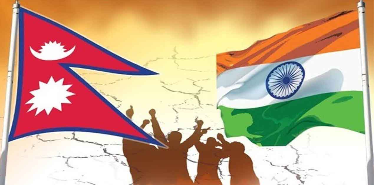
While highlighting significant changes with high-level commitments to India, the report claimed that economic ties are continuing to rise as India ranks among main development partners, the top visitor source, the largest trade partner and the second-largest investor in Nepal.
Speaking of Boundaries, Nepal upheld its strategy of not allowing its territories to be used against its neighbours and reiterated its aspirations. “Sovereign equality, reciprocal confidence, common advantages and respect for and appreciation of each other’s interests and sensitivities have continued to form our bilateral relations. Bilateral relations with both neighbours India and China remained fruitful and mutually beneficial,” the report said.
“Nepal- India boundary demarcation works have been finished in all segments except Susta and the Northwest. Nepal has repeatedly maintained that the remaining work of the boundary demarcation should be done as soon as possible but on November 2, 2019, India released a new political map, showing the regions of LipuLekh, Kalapani and Limpiyadhura in Nepal on its map,” the report mentioned. Nepal claim that the territories lying east of the Kali River belong to Nepal under Article 5 of the Sugauli Treaty.”
Nepal asked India to correct the map and suggested twice to hold talks at the level of Foreign Secretary to complete the work on border demarcation. Meanwhile, the Government of India inaugurated the ‘link route’ to Nepal’s LipuLekh through the territory on 8 May 2020. In response, the Government of Nepal called on the Government of India to refrain from carrying out any activity within the jurisdiction of Nepal.
Nepal has claimed that such unilateral actions run contrary to the consensus reached between the two countries, even at the level of Prime Ministers, that a solution to boundary problems must be, pursued by negotiation. Nepal insists that border problems should be, settled by treaty agreements, historical records, evidence and map. As India has not corrected the map, Government of Nepal, was forced to publish on 20 May 2020 a new administrative and political map of Nepal depicting the LipuLekh, Kalapani and Limpiadhura territories of Nepal, it claimed.
The report said in addition to boundary issues, a permanent solution to the problem of floods was another important work to be undertaken.
Surprisingly, the report make no mention of any border dispute with China though China has unilaterally constructed 11 cemented buildings in the Nepali territory of Humla district near the Nepal-Tibet border. On the contrary, the report mentions both Nepal and China have expressed satisfaction with the signing of the Agreement between the Government of Nepal and the Government of the People’s Republic of China on Boundary Management System, which will improve the level of boundary management and cooperation for both sides.
(Venkatesh Iyer)

